Geography of Ireland
Geography of Ireland
ConceptIslands

Geography of the island of Ireland in Northwestern Europe

1.25Uncommon
No. 54532Kosmora

Uncommon

Geography of Ireland

  • Islands

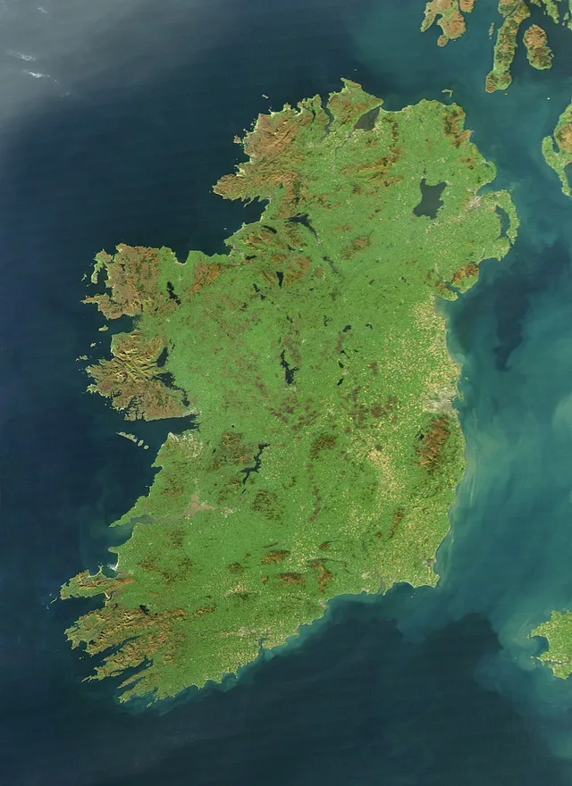
Ireland is an island in the north Atlantic Ocean, in Northwestern Europe. It is Europe’s third-largest island and has low central plains surrounded by coastal mountains. Carrauntoohil is its highest peak, while the River Shannon is its longest river. The island has a mild, humid temperate oceanic climate. Politically, it includes the Republic of Ireland and Northern Ireland, which is part of the United Kingdom.

Location
Northwestern Europe, in the north Atlantic Ocean
Highest peak
Carrauntoohil, 1,039 metres above sea level
Political divisions
Republic of Ireland and Northern Ireland
Sources and credits

Sources and credits

Article
Geography of Ireland (English Wikipedia)
Wikidata
Q822900
Text
Card text is adapted from the English Wikipedia article by an automated summary. Wikipedia content is available under CC BY-SA 4.0; see the article history for its contributors. CC BY-SA 4.0 · Article history and contributors
Illustration
By Jeff Schmaltz. Public domain · File page on Wikimedia Commons
Jeff Schmaltz, NASA Earth Observatory
Modifications: Resized and converted to WebP
Popularity
81 median daily views (Wikimedia Pageviews API (all-access, user agent))

Kosmora is not affiliated with or endorsed by the Wikimedia Foundation.