McDonald Ridge
PlaceGeography
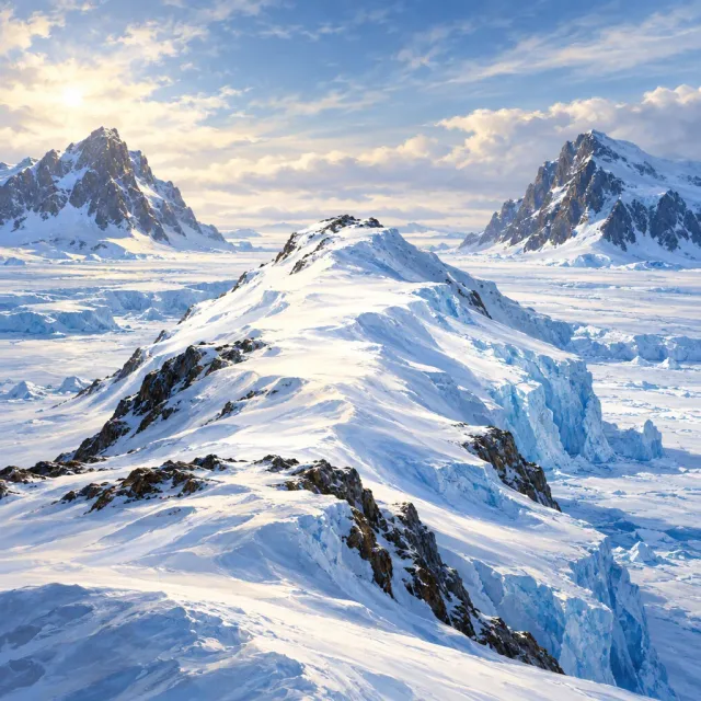
Ice-covered ridge in Enderby Land, Antarctica
1.00Common
Ice-covered ridge in Enderby Land, Antarctica
Common
McDonald Ridge is a mostly ice-covered mountain ridge in Enderby Land, Antarctica. It lies between Johnston Peak and Douglas Peak, about 22 nautical miles southeast of Mount Biscoe. The ridge was plotted from aerial photographs taken during Australian National Antarctic Research Expeditions in 1956. It was named by the Antarctic Names Committee of Australia for K.R. McDonald, a radio officer at Mawson Station in 1961.
The picture on this card was made with AI. It is an illustration, not a real photo of the subject.
Kosmora is not affiliated with or endorsed by the Wikimedia Foundation.